Your are currently viewing
List of local attraction


Home » Must See »Mountains & Volcanoes
+62 361 973 285
info@fabulousubud.com
Address:
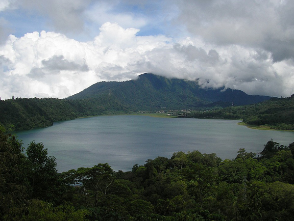
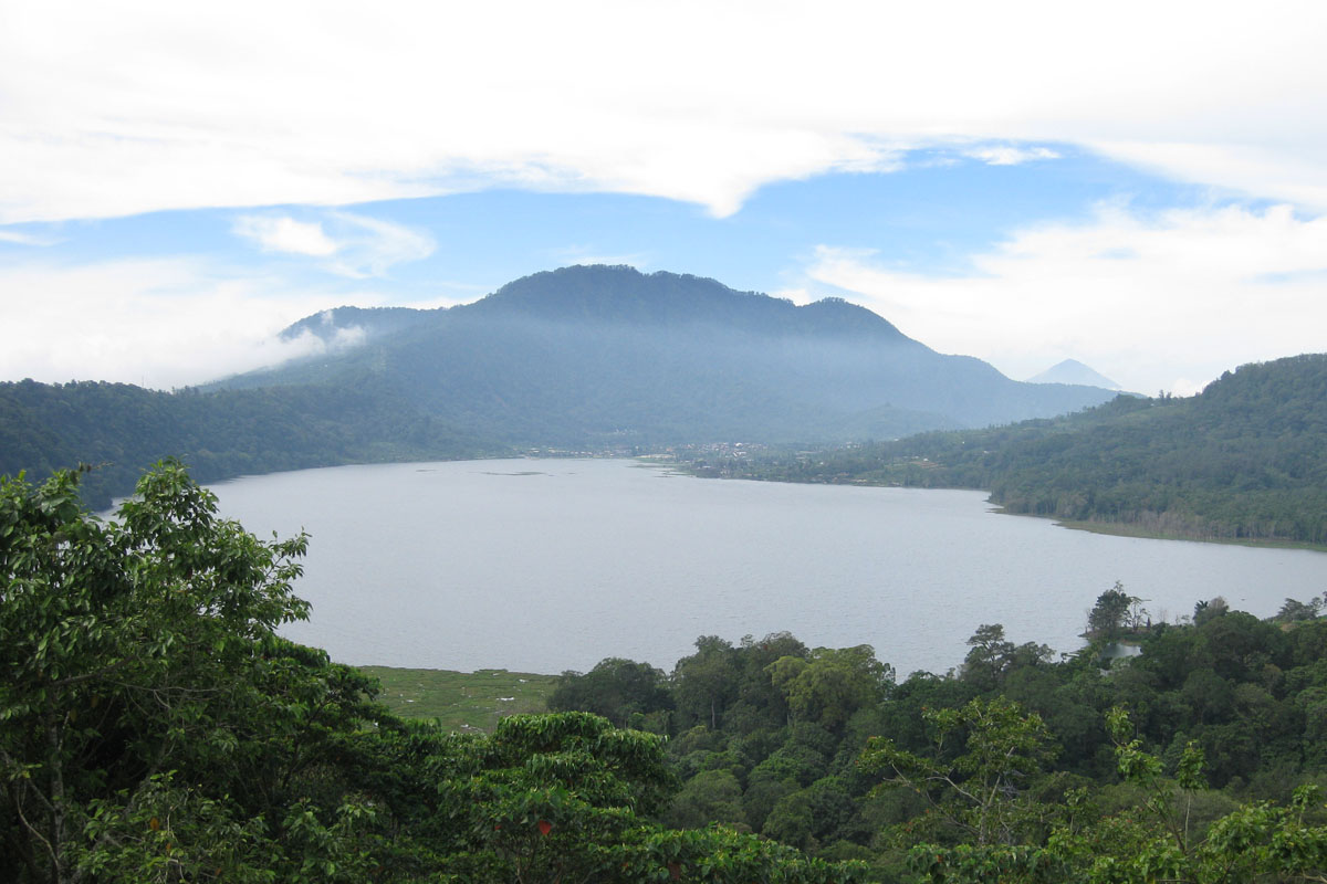
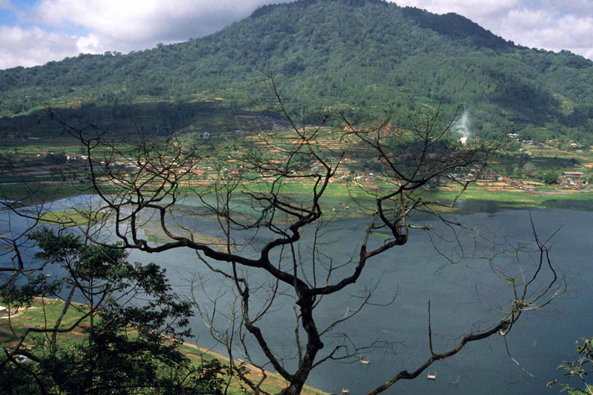
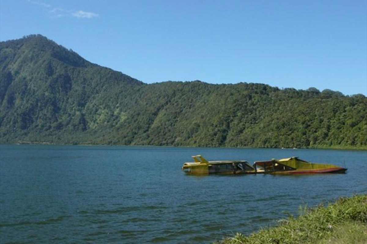
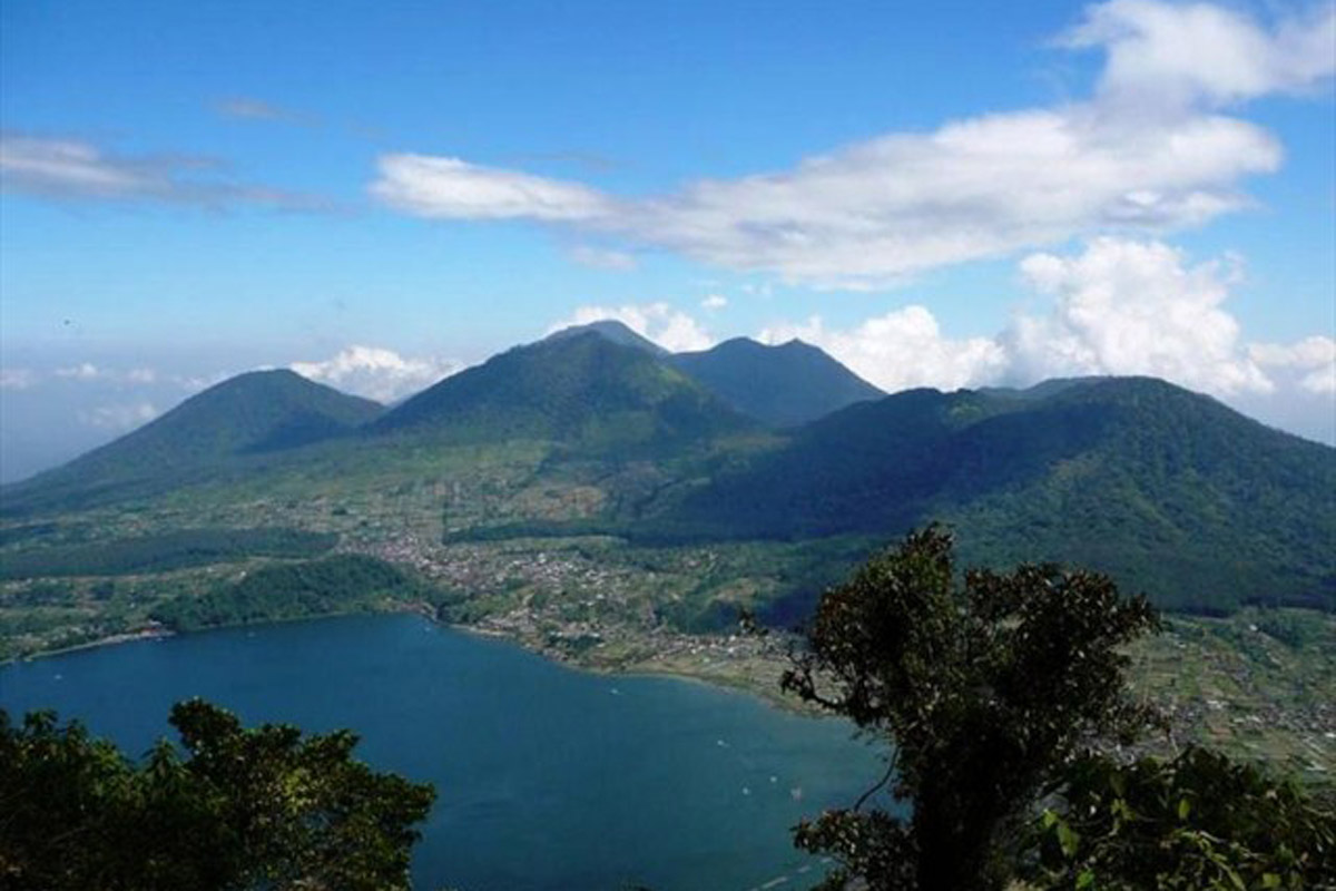
Pancasari Village, Sukasada, Buleleng Regency, Bali
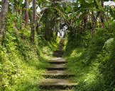
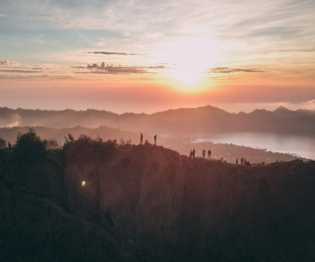
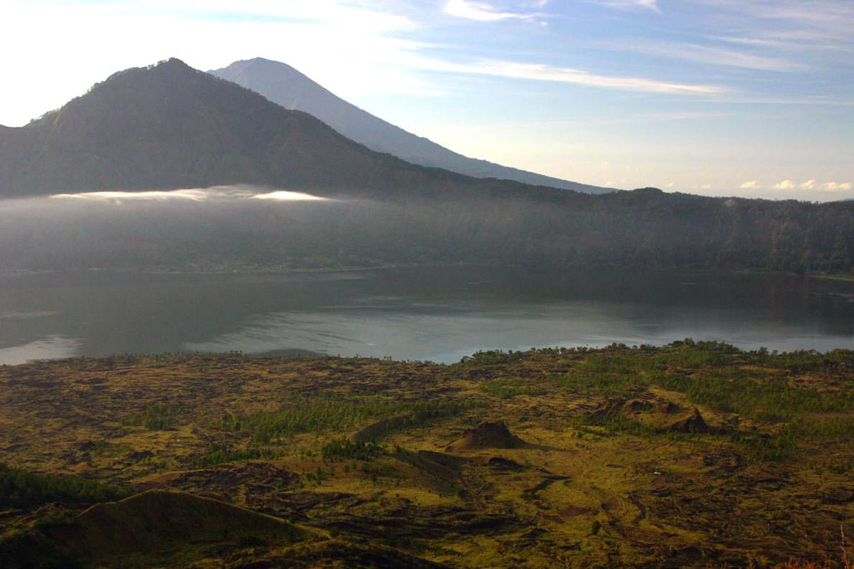
Bali’s fourth tallest peak at 2,096m is located to the east of Lake Bratan and at the highest point along the rim of the Bedugul caldera in the Tabanan Regency. It is a densely forested mountain that it advised to tackle with the help of a local guide and should take between 2.5 – 3 hours to reach the top if beginning the ascent from Gua Jepang. And as with the other peaks, it’s best to arrive at the summit for sunrise in order to enjoy the spectacular view of the mountain lakes below before cloud cover sets in.
Always refer to the weather information before taking the climb. The weather archive diagrams are separated in 3 charts :
Temperature, including relative humidity for hourly data
Clouds (grey background) and sunshine (yellow background). The darker the grey background, the more dense is the cloud cover
Wind speed and direction (in degree 0 degree = North, 90 degree = East, 180 degree = South and 270 degree = West)